Tuesday, July 3, 2018

Alaska Day 3, Rainy Days and Mondays


Day 3

Monday June 4, 2018

     When I woke up and looked out the window, it was already light out, sort of.  I was greeted with a light, but steady rain.  The weather guessers all said it would last throughout the day.  So much for that long hike I had planned.  I’ve hiked in the rain before. But, given my druthers, I simply prefer not to.  I especially prefer not to when the trail runs ten miles.
     Instead, I grabbed a cup of coffee from one of the myriad of drive up coffee shops here and drove out to the glacier overlook.  Maybe I'd get lucky.  Otherwise, it would be my one time checking messages and texts.  Oddly, the only two places I got service were up in the hills and right here by the lake.
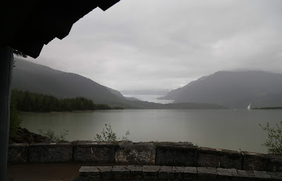


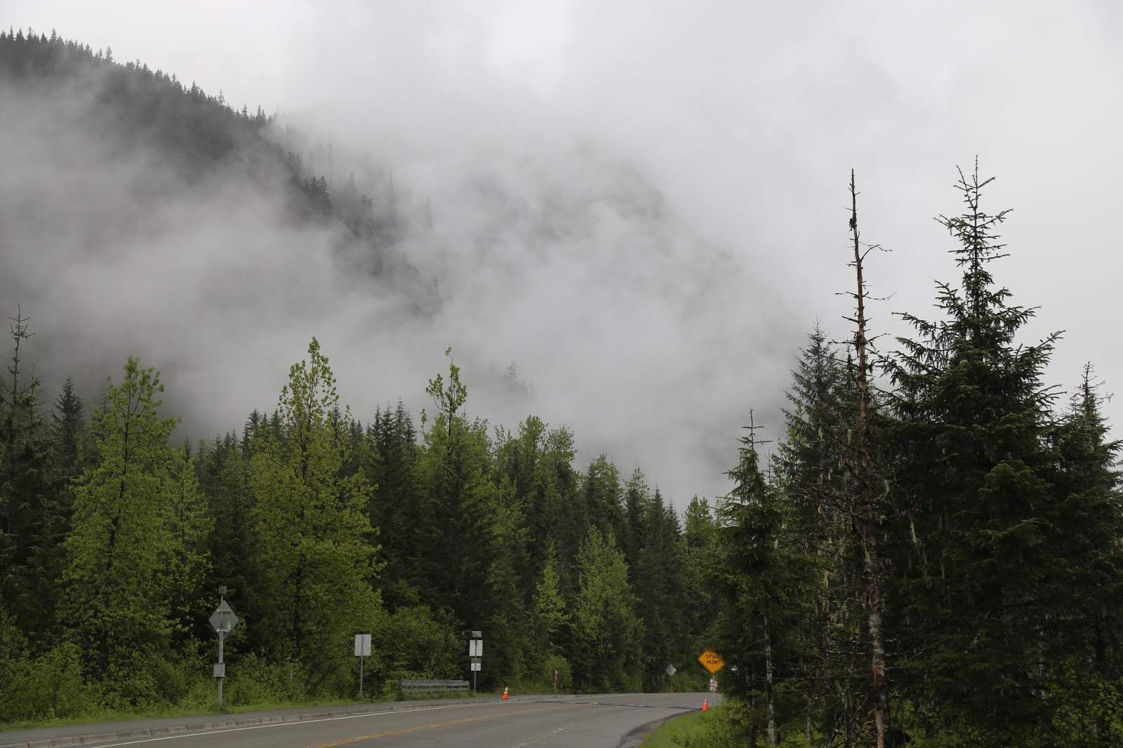
     Eventually, the rain went from light and steady to a heavy mist.  I was feeling antsy and just wanted to get out of the motel for a while.  So, I drove north as far as the road went out of town, about twenty-five miles.  Patches of blue sky in the distance gave me hope. 


     I turned back at the end of the road.    That’s where I saw my first bear.  He was off the side of the road and started walking away before I could get the camera. 
     About a mile from the end of the road is Point Bridget State Park.  The trail is relatively level and it’s three and a half miles to the point, about half of it under forest canopy.  Shortly past the two mile point is a day use cabin. I decided to risk it and hike as far as the cabin.  I could reassess my options from that point. 
    The first mile is mostly through thick mud and standing water.  The trail alternates between gravel and wide boards.  After the previous day’s climb, an easy trail was welcome. 


     A park ranger had raved about the meadows along the trail.  There were some wildflowers out, but it was still a bit before peak.  


     It still wasn’t raining when I made it to the cabin.


  I thought about the .7 mile side trail to Spruce Lake and decided to risk it.  I hadn’t gone that far when the trail turned to thick mud.  It wasn’t that light squishy mud, but the thick stuff.  Every step resulted in that wet sucking sound.  Looking further up the trail, I didn’t see an end to it.  As it turns out, I made the right decision and headed back towards the car.  


     Less than a mile back towards town I spotted my second bear.  It was crossing the road off in the distance.  Another mile or so  and the rain came back.  It didn’t let up.


    Across the river from downtown Juneau is the community of Douglas.  There’s a historic trail on the southern end of the island I had visited the last time.  If the rain stopped, it would be a nice way to wrap the day. 
     I killed a little time in Douglas at the Island Pub.


  They’re famous for their pizza, but only sell 14 inch pies.  It’s been a long time since I could put away that much pizza.  Instead, I had their steak sandwich.  Unlike a Philly, the meat was thick, not shaved.   It also came with mushrooms and the “house cheese.”  It was like provolone, but with some bite.  Add a couple of Big Butte Porter Ales and I was good to go.  Eileen, my waitress, took good care of me and didn’t hassle me for lingering.  I was hoping the rain would let up, but it didn’t.  The rest of the day was a bust.


Coming Up,
I yell, “HEY, that’s my car!”

Alaska Day 2, West Glacier Trail


Day 2

Sunday June 3, 2018

     While planning this trip, I came across a few references to the Mendenhall Ice Caves.  Imagine if you can, naturally cut tunnels into the glacier ice.  Sounds pretty intriguing, right?  Well, there’s a spur off the West Glacier trail that leads down to the glacier’s face and the caves.  Or, at least it did. 
     The receding glacier caused the caves to collapse.  It’s a good thing I asked about them the day before.  The spur trail was listed as strenuous in the guidebooks.  But, for ice caves, I would have risked it.  More on that a little further in the narrative.
       This time of year, sunrise in Juneau is around 4A.  So, when I woke up it was already light.  Breakfast at the Extended Stay America is “Grab and Go.”  Translation, there are protein bars and muffins, along with coffee.  That’s it.  Fortunately, I had picked up some fresh fruit at the Safeway.  Lesson learned along the road.
      I left around 6A, headed towards the trailhead for West Glacier.  The guidebook was vague on the actual location of the trailhead, and the map had it somewhere in a campground.  I found the campground easily enough, but no trailhead.  Eventually, there was a posted map.   The trailhead wasn’t in the campground.  It was a little further down the road. 
       From the parking area, I wandered out to the shore of Mendenhall Lake to shoot the morning mist.  I really need to revisit this a little earlier in the morning.  The mist was gently swirling near Nugget Falls. 


       There were no signs from the parking lot.  The ranger told me it was a fairly wide trail at first.  The only trail I saw was plenty wide.  But, it turned south about ten minutes in.  I knew I wanted to go north, so I turned back around  to the parking lot.
      Eventually, I did spot another trail, this time headed north.  A few minutes up the trail there was a kiosk and one single sign saying this was indeed the West Glacier trail.   The trail  is three and a half miles.  At that point, it becomes the McGinnis Peak Trail.  Where one stops and the other continues wasn’t exactly clear.


      The first two miles are a relatively easy walk through the forest.  At that point, it starts to climb.  This was the first of many points where cables were provided.  That’s when you know the trail is getting interesting. 


       Along the way, I came to an unmarked trail juncture.  I should have gone left.  Instead, I went right.  That’s when the trail suddenly got much worse. This time there were no cables and it required a little scrambling. 
      What I wasn’t expecting was this…


     You know you’re in a different league when they provide ropes to pull yourself up.  Going up was one thing.  Coming down was outside my comfort zone, and I was so glad to have that behind me.    It turns out this is the unofficial spur trail to the ice caves.   When I got to the top of those rocks and continued another thirty feet, I was grateful I had chatted with the ranger the day before.  This is the “trail” down to where the ice caves used to be.  It’s overgrown and very steep.  This is as far as I went.


       Sitting atop that rock, I pulled out my cell phone to take a few photos.  Surprise, I had a decent signal.  So, I took a break and answered a few texts.  This was the only spot in the Juneau area where the signal was strong enough to send photos.  In downtown Juneau it was sketchy at best.  Texts may or may not go.  Sending a photo just wasn’t going to happen.   Overall, no real complaints about that.  At the motel, there was no signal at all.


       Back on the main trail, I stopped at the overlooks to take a few photos before moving upwards and onwards. When the trail curved away from the glacier and became significantly more rocky, I turned back.  I took these on the way back down.  The harsh lighting had subsided.


      I asked back at the visitor center and the last clear overlook was the end of the West Glacier Trail.  This was the McGinnis Peak Trail.  It would only get more rocky as I climbed.  Yeah, I was glad to have stopped when I did.   While I was certainly enjoying the exercise, the sunshine and fresh air, the near constant drones of helicopter tours did get a little old.

      In the end I have no idea how many miles I hiked.  But, I started up the hill at 7A and got back to the car at 3P.    
      It was way too early to call it a day.  I stopped into a family style restaurant next to the motel.  It’s a place called Donna's..  


My sandwich was good and the staff was great.  One thing though, on the menu was something called a Britain Burger.  I comes with bacon, American and Swiss cheese.  Odd. 


     A few miles north of the motel is the turnoff for the Luna Point Trail.  It’s a mile each way. I could do another two miles.  The first stretch is all on elevated boards.  


     The rest is forest floor with a whole lot of roots to step over.  The payoff…


      I was feeling like I had earned a cold one before calling it a day, so I drove into downtown Juneau.  With three cruise ships docked, there were people everywhere.  So, I ditched the car and found my way into the Red Dog Saloon.

     Seeing dollar bills tacked up on the walls was nothing new.  Police department patches was definitely something different.  I asked the bartender about them.  Jokingly, he said it was to appease the local police because the dollar bills on the walls were all signed by customers and technically “defaced.”  The real reason, who knows. 


     The bar was obviously geared towards tourists.  They had stereotypical saloon doors in front and the staff dressed somewhat in period costume, or like something out of a western movie.  There was even sawdust on the floor.      


      Hanging on the wall over the bar is an old gun they claim used to belong to Wyatt Earp.  Legend has it, he had checked his gun with the Marshal’s office as required by law.  He never claimed it.


      The Alaskan Amber Ales and a pretty good band made for a nice ending to the day.  I slipped a couple of dollars into the band's tip jar and strolled out into the still bright evening that's June in Alaska.

Coming Up,

Dodging raindrops…and bears

Alaska Day 1, An Alaskan Moment


Day 1

Saturday June 2, 2018

      Just like the trip to Texas in February, this one started ridiculously early.  Unlike the trip to Texas, there were actually Uber drivers available.  Tianna arrived promptly at 3:30A and was excited to have seen a deer on her drive over.  
       Since my flight was so early, the TSA Precheck lines weren’t open yet.  Fortunately, I wasn’t randomly selected for the body scans.  It was also too early to get a cup of coffee in the airport.  That was probably a good things since I did manage to sleep for an hour of so on the flight to Seattle. 
       The odd thing about my fellow passengers though, a large percentage of them were headed to Seattle to take an Alaskan cruise.  I heard a lot of people talking about their plans .  The couple in my row were traveling with their two grown kids and their spouses.  Some were excited, others were just wary of the whole cruise thing.   In hindsight, I’m glad I explored the state on my own. 
      Once in Seattle,  my connecting flight was in another concourse, naturally.  Unlike the trip back from Texas, I had plenty of time to get there, as well as grab a sandwich.  The flight to Juneau, uneventful.  Though, it is pretty cool to see Mendenhall Glacier on final approach.  
      The reason I left so early is simple.  I had my checked bag and my rental car(a Subaru Impreza) and was on the road just after 1P.  Not too bad. 
       The Tlingit called the area that became Juneau Dzantiki He’eni, which translates out to Base of the Flounders River.  When gold prospectors arrived, they named it Rockwell, then Harrisburg and eventually Juneau, after Jon Juneau,  a Canadian prospector. 
      In 1970, the city merged with neighboring Douglas and large swaths of the surrounding area.  At 2,701 square miles, it’s larger than Delaware and Rhode Island.  But, it’s still the second largest municipality in the country.  The city of Sitka, Alaska covers 4,811 square miles.  Yes, Alaska is huge.
      A short drive from the airport is the visitor center for the Mendenhall Glacier.  I came here on my first visit and was surprised how different it all was.  Like the first trip, I started with the Steep Creek Trail.  It's an easy loop and a great way to stretch the legs.  Seven years ago when I did this, I saw a mother bear and three cubs.  This time, it was just a nice walk. 


     As for the Mendenhall Glacier itself...  These shots are from my trip back in 2011.


     And from this trip…


     Not only has the glacier receded, the icebergs are all but gone.  I asked about it at the visitor center.  Not only has the glacier receded, it’s also thinned.  The park ranger lives downtown opposite the cruise ship births.  When she moved here in 2003, there would be icebergs floating by her house. Not anymore. 
     The other casualty of the melting glacier are the ice caves.  There’s a trail that used to work up the other side of the water and bring you down on the far side of the glacier.  From there you could access the ice caves.  Imagine if you can walking back into a cave of blue glacier ice.  Sadly, the last of the ice caves collapsed a year ago.  You can get an idea of what I was hoping for in this posting from Divergenttravelers.  You can see why I was bummed out about it.  
    Fortunately, I had asked the ranger about those, too.  While I was bummed about the caves, it did save me a trail that could best be described as treacherous. More on that later.
     One of the motel staff asked how the trip was going.  I mentioned I was bummed about the ice caves.  He had borrowed a canoe and paddled to the base of the glacier a year and a half ago.  He showed me a picture of a cave on his phone. 
      From the visitor center, there are a number of easy, short trails out to a beach closer to the glacier, as well as Nugget Falls.


    The toe of Mendenhall Glacier...


    I spent a little under two hours here before moving on.


  One last trip to the overlook and I got to talking with a fellow photog.  She pointed out a small iceberg in the distance.  Sitting atop the ice was an eagle.  This is close as I could get with my 300 lens.   Seriously, how much more Alaska can you get?


      And cropped...


      My plan was originally to take a four mile trail along Auke Lake.  It’s a paved and level trail and perfect after a day on airplanes.  In the end, it wasn’t meant to be.  The leaden skies let loose with a steady rain.  Instead, I checked myself into the Extended Stay America and waited out the weather.  It abated eventually and I went back out and took a stroll along the Mendenhall River.   


     When the rain returned, I called it a day.  The five hour time difference and the early morning was catching up with me. 
      As for the Extended Stay America, I could have walked from the airport terminal in five minutes.  Granted, my room was in the back, but I never heard the planes in the room.  

Coming Up,

Something unexpected on the trail