Friday, April 22, 2022

April Roadtrip, Day 5... A Hitchhikers Guide

 Day 5

Wednesday April 6

     The original plan for the day was to start in Kasha-Katuwe Tent Rocks National Monument.  Unfortunately, it's closed due to Covid.  It certainly looks like an interesting place.  You can get an idea from this article on Americansouthwest.net.


     Instead, I kept driving south into Albuquerque.  The name comes from the latin albus quercus, which means “white oak.”   In the 1980's the city was growing outward.  Native American groups approached the city in an effort to protect certain areas they felt were being threatened.  This would eventually become Petroglyphs National Monument.

     The monument headquarters sits relatively in the middle of four remote sections on the monument.  The section I chose to explore is Boca Negra Canyon.  
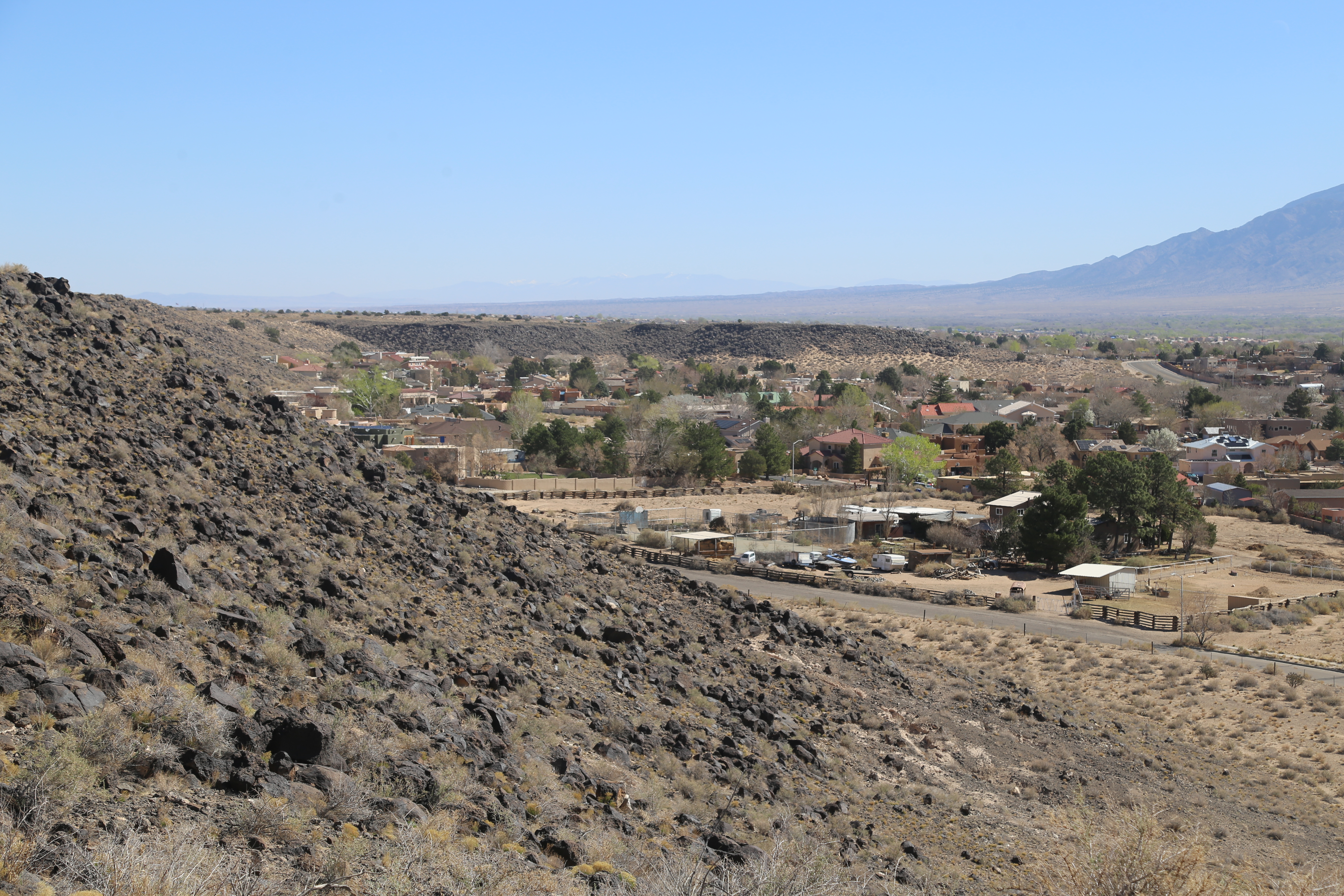


   There are a series of trails up into the hillside, with plenty of pictures etched into the volcanic rocks.                                                                                                                      


       This last one was by far my favorite.  I've no idea what it's supposed to represent, but it reminded me of a certain book cover...                                                                                


      Leaving the park, I found myself with some extra time.  So, I started driving west on I-40, and hopped off a few miles later in the town of Laguna.  Why not drive a bit on Route 66.  I topped off the gas tank right across the street from the Rio Puerco Bridge, built here in 1933.                                                                                                                                            

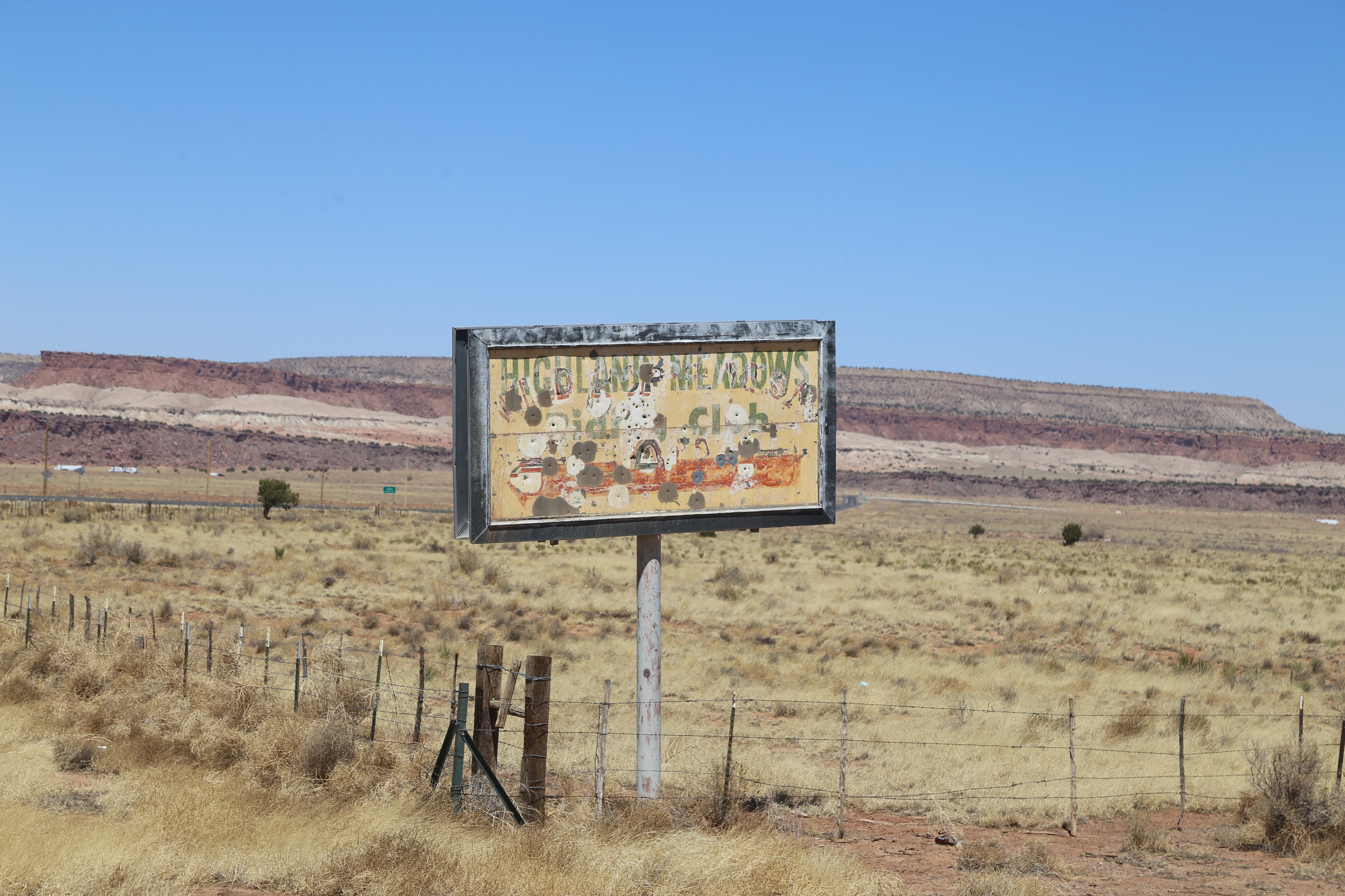
Route 66 dips on and off I-40 frequently in this part of the state, and isn't always well marked.  The next stretch took me into the outskirts of Highland Meadows...                           


This brought me to an eight mile stretch that clearly hadn't been shown any love from the road department.  I never got over 30MPH as I dodged one big pothole after another...         
                                                                                       

     I was fully expecting to end up back on the interstate at the end of the eight miles.  What I didn't expect was this...                                                                                                          


With a heavy sigh, I turned around and backtracked the eight miles.  No real complaints though...  Never gets old.                                                                                                                                    


   In the town Mesita, I picked up one of the older stretches of Route 66, past a large stone  they call Owl Rock.                                                                                                                  


      Route 66 continues west through the town of  New Laguna.  In the center of town is the San Jose de la Luguana Mission and Convent.  Construction began on the mission in 1699 and was completed two years later.


      Seen driving through San Fidel...


     The Whiting Brothers started their business career with a lumberyard.  In 1926, when Route 66 was officially designated, they decided to open a string of service stations along the new road.  

     Eventually, I rolled into the city of Grants.  It began as a camp for workers building a stretch of the Atlantic and Pacific Railroad.  Angus, John and Lewis Grant had won the contract to build it.  It became known as Grants Camp, and eventually just Grants.

     There are a few Route 66 themed motels in Grants.  I thought about The Sands.  But, if I can't get the room Elvis slept in, everything else would be a letdown.


     The Desert Sun had seen better days.  It's been empty for a while, and last year there was a fire.


    The Desert Sun Motel seemed to have suffered a similar fate.  I later learned there had been a string of arsons last year in multiple abandoned buildings.


     My home for the next two nights was the Motel 6.  I would have preferred one of the Route 66 motels, but the on line reviews made them seem questionable. The Motel 6 oddly enough got the best reviews of all the sites I checked.  As Motel 6's go, it was definitely one of the better ones.  


     It was too early to call it a day, do I went to check out one of the two breweries in town.  The Junkyard Brewery is just that, a brewery in an old salvage yard.  And yes, they play the theme to the hilt...


     It was pretty quiet when I walked in.  Marylin was working the small bar and brought me a few samples, some more interesting that others.  While the kitchen whipped me up some really tender barbecue, we got to talking.  There are of course the regulars, but Route 66 brings in a steady stream of people like me, just passing through.  

     I met a couple who had just come from the Bandera Volcano and Ice Cave.  Geographic features keep the partially collapsed lava tube at a steady thirty-one degrees and over the years ice has built up inside.  To me an ice cave is still a cave inside actual ice, not ice in a cave.

     This is also where I met Walter.  He grew up here and felt the need to get out.  So, he joined the Marine Corp.  With twenty years in, he realized he was having trouble keeping up with the younger Marines.  So, he came back to New Mexico.  He told me his family has been here so long, they've still got the original land grant from the King of Spain.  

     When I left, I had been there almost three hours, chatting with the locals and picking the brains of a group who had hiked a trail I was headed to the next day.  

     Just out of curiosity, I did ask about the other brewery in town.  The general consensus was that the place is kinda quiet.  It made me glad I chose this one for the evening.


April Roadtrip, Day 4... Camel Rock

 Day 4

Tuesday April 5

     While there was plenty to see and do in the area, I only had one day.  So, I chose  to start the day with a forty-five minute drive north to Bandolier National Monument.  Designated by President Wilson in 1916, the land was set aside to protect the remnants of the pueblo indian sites, dating from 1,100-1,650AD.  It's named after Adolf Bandolier, a Swiss immigrant.  Following in the family business held little interest.  Instead, he eagerly read everything he could about anthropology, eventually doing fieldwork on abandoned pueblan sites.  His passion and study made him one of the leading experts on Pueblan history.  

      Hwy 84 would take me north, out of town.  Of course, I did have to make a stop at Camel Rock.


     Hwy 502 took me west to the town of White Rock and eventually the national monument.


        Just inside the park is a pullout and an overlook of the canyon below...


    There were two trails I wanted to hit within the main section of the park.  The first was the Falls Trail.  It's a fairly easy three and a half mile round trip that hits two different waterfalls.  Unfortunately, due to a recent flood, the trail is partially washed out beyond the first one.  Still, a good three miles to start the day.  


     Upper Falls...


   The second trail went through an old Pueblan settlement.


      A half mile further from here is a place they call Alcove House.  Unlike these, it takes more than just a short ladder to access.  

     All access was closed and may be for a while.  Two weeks ago, someone was pretty high up the mountainside when they were hit by a falling rock and then fell thirty feet.  They died during the course of the rescue.  
      I had seen a few signs for Valles Caldera, but knew nothing about it.  The park ranger said it was definitely worth checking out.  Twenty minutes of twisting mountain roads brought me to an overlook... Yes, that's snow.


    A million years ago, this was the top of a volcanic mountain.  When it blew, it's estimated to have ejected 500 times the material as Mount St. Helens.   That ring of hills circles the volcano's caldera.  
    There was one more trail I wanted to hit in this general area.  Technically, it's part of Bandolier National Monument, but a separate area.  To get there, I decided to drive through the town of Los Alamos on Hwy 501.  
     I knew this road would go by Los Alamos National Laboratory.  Pre-Covid, they offered tours of the labs where the first atomic bombs were developed.  What I wasn't expecting was a security checkpoint.  This was simply to drive past the facility, not go inside.  I simply had to show my ID to the guard and I was on my way.
     Eventually, I did find the parking area and trailhead for the Tsankawi Section of the park.  There's a loop trail through the area that passes by some ruins, though there's not much to see.  The view and challenges of the trail far made up for it.


    The weird part of the trail involved the well worn, but tight sections.  These ruts go from anywhere between ten inches wide to barely enough space for a boot.


    As for the ruins, all I saw were a few crumbles foundations...


    And some petroglyphs tossed in as a bonus...


     It was much later than expected when I finally sat down for a late lunch.  Bathtub Row Brewing  doesn't do food, but welcome it from the other area restaurants.  A sandwich and a couple of pints and I was good to go.