Tuesday 11/28
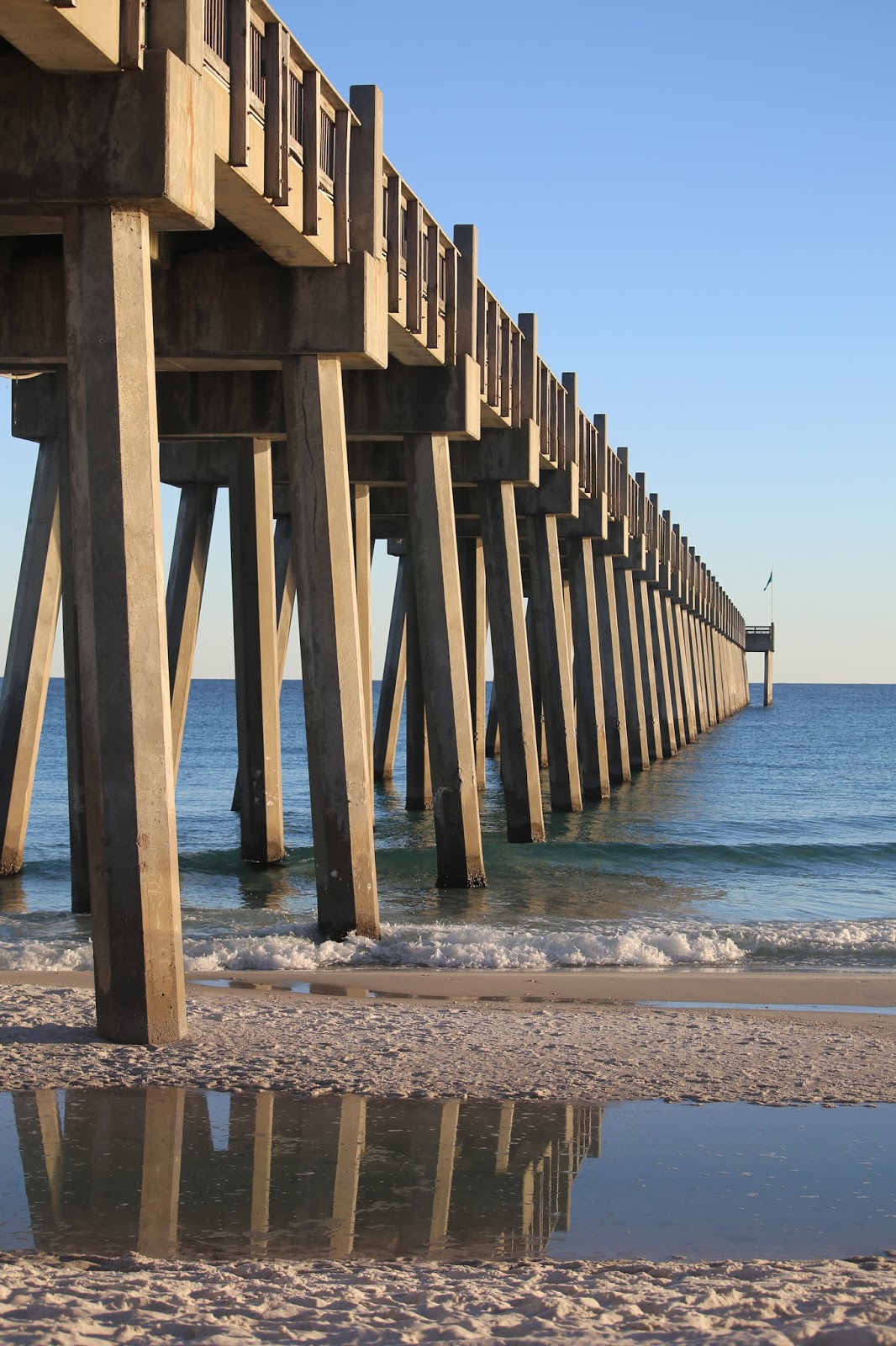
Once again, I was out on the beach with my new Heron friend watching the sunrise...


The car was packed and it was time to go. I would have loved to linger, but had a long drive ahead of me through the backroads of Florida, Alabama and Georgia. I pulled out of Pensacola Beach and hit the road.
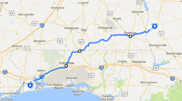
I-10 took me east to the town of Crestview, where I picked up Hwy 85 towards Paxton, Florida. Just east of Paxton is the town of Lakewood. To get there, you need to drive into Florala, Alabama and backtrack across the state line.
So, what's in Lakewood? Britton Hill of course. Clocking in at 345 feet, it's the lowest state high point and tucked away in a small municipal park.


The view from the high point.
Once again, I was out on the beach with my new Heron friend watching the sunrise...


The car was packed and it was time to go. I would have loved to linger, but had a long drive ahead of me through the backroads of Florida, Alabama and Georgia. I pulled out of Pensacola Beach and hit the road.
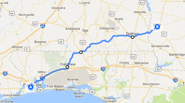
I-10 took me east to the town of Crestview, where I picked up Hwy 85 towards Paxton, Florida. Just east of Paxton is the town of Lakewood. To get there, you need to drive into Florala, Alabama and backtrack across the state line.
So, what's in Lakewood? Britton Hill of course. Clocking in at 345 feet, it's the lowest state high point and tucked away in a small municipal park.


The view from the high point.

By the way, that's high point number eighteen.
I left Lakewood, drove back to Florala, picked up Hwy 54 East to 52 towards the Georgia state line. Passing through the town of Dothan I saw an old TV station sign and just had to go back to check it out. This is the old location of WTVY-TV. From the looks of it, this site's been abandoned for a long time.

The first town across the state line is Blakely, named after Jonathon Blakely. During the War of 1812 he commanded the USS Wasp and successfully sank two British warships and captured another.
A block from the town square, I saw this mural...

Of course(first world problems) I had no service on my phone and couldn't look it up. But, while I was in the parking lot taking that shot, the wind shifted and I caught the smell of a small barbecue place across the small lot. I wasn't hungry until that moment.

We often hear the term "melts in your mouth" concerning food. If it was possible for barbecue to actually melt in your mouth, this would have. I've had a lot of barbecue from a lot of places. Some places tasted better. But, none were more tender and succulent. So, I walked back and told their cook.
He also gave me directions to the Coheelee Creek Covered Bridge. It was four miles back. Wilson is the first right after the hospital. At the fork in the road, go right. If the road turns to gravel, you're going the right way.
So, I backtracked the four miles. I didn't see a hospital. I didn't see any road named Wilson. I even drove two miles further. Perhaps the next time.
From Blakely, it was an easy drive up Hwy 27 to Columbus and interstates the rest of the way.
David 12/1/17
PS: The Alaska trip is coming together for June. It's a huge place and there's just so much to see and do. The hard part is deciding what can wait for another trip. On the plus side, it's the summer solstice so the days are very long. Otherwise, I really haven't planned anything else. But, there will be adventures. You can count on that.
PPS: Two things struck me on the drive home. Two weeks before a hotly contested senate election in Alabama, I saw only a handful of yard signs. I saw more billboards reminding people of the vote. It just seemed a little weird. Second, driving through small town America, at least in the deep south, every town seemed to have two things, a Subway sandwich shop and a Dollar General.