Wednesday, June 11, 2025

Roadtrip, Day 24...Circling Snow Shoe

Tuesday, June 10, 2025

      The threatened storms yesterday never manifested.  Instead we had some light rain overnight.  But, at least it was supposed to be sunny today, so all was good.
      Across the highway from the motel sits a quiet little place called the American Diner.  

      While ordering breakfast, I was asked what color toast I preferred, white, wheat or rye.  Interesting way of putting it. Good food though.
     There was only one thing on tap for the morning, the Snow Shoe Viaduct Rail Trail.  That's why I overnighted in Philipsburg. The bridge covers 770 feet and towers 110 feet over the valley below.  It's around the middle of the trail and fenced off.  But, you can get right up to it from either end.
     The previous night, I looked into access points.  I found four.  The newest was allegedly behind the Philipsburg Elks Lounge.  I didn't see any trails, much less the promised ATV trail. 
     I drove twenty minutes to the town of Show Shoe and found the provided address.  There was a sign, space for two cars and a road that curved off into the woods.  On both sides of the road, multiple No Motorized Vehicles signs.  
     There was supposed to be access along Clarence Rd in the next town over.  Never found it.  Never found the other access point, either.
     So, I tried a different tactic, a viewpoint.  This is what comes up on Google.


    Follow the directions and it takes you down a bumpy dirt road that dead ends at the lot of a towing company.  The view...


       In the end, I spent two hours driving all over and never even got to see the damn thing.     
      In hindsight, I probably should have checked YouTube, also.  
      Instead, I found myself back in Philipsburg.  Cold Spring Dam Park has a series of walking trails.  To vent a little frustration, I started walking...


     The short loop runs .8 miles.  So, I went around twice more.  There are longer trails here.  But, this worked.
     From here, I drive southwest to the town of Shanksville.  I had heard good things about the Flight 93 Memorial.
     From the parking lot, this walkway follows the flight path of the plane as it crashed on 9/11.


     Inside the visitor center, there are multimedia displays of the day's events, focusing on the actions of the Flight 93 highjackers and the passengers who fought back.
     The crash scene is this field at the end of the walkway.


      There's more of the memorial down a .7 mile path.  The white wall has the names of the crew and passengers.  There aren't many.  The highjackers chose this flight because there weren't many passengers.


     The low black wall protects the debris field and the area is off limits.


     Near the tree-lined sits this large boulder.  It's represents the edge of the debris field.


      On the site also sits this structure they call the Tower of Voices.  Inside are forty large wind chimes, one for each passenger and crew member.


     If you drive out of the memorial and turn left, there's a sign for Patriot Park.  There's a field of flags representing every service member who died after 9/11.
      This isn't actually part of the Flight 97 Memorial.  It's all done through the non-profit, Patriot Park Foundation.


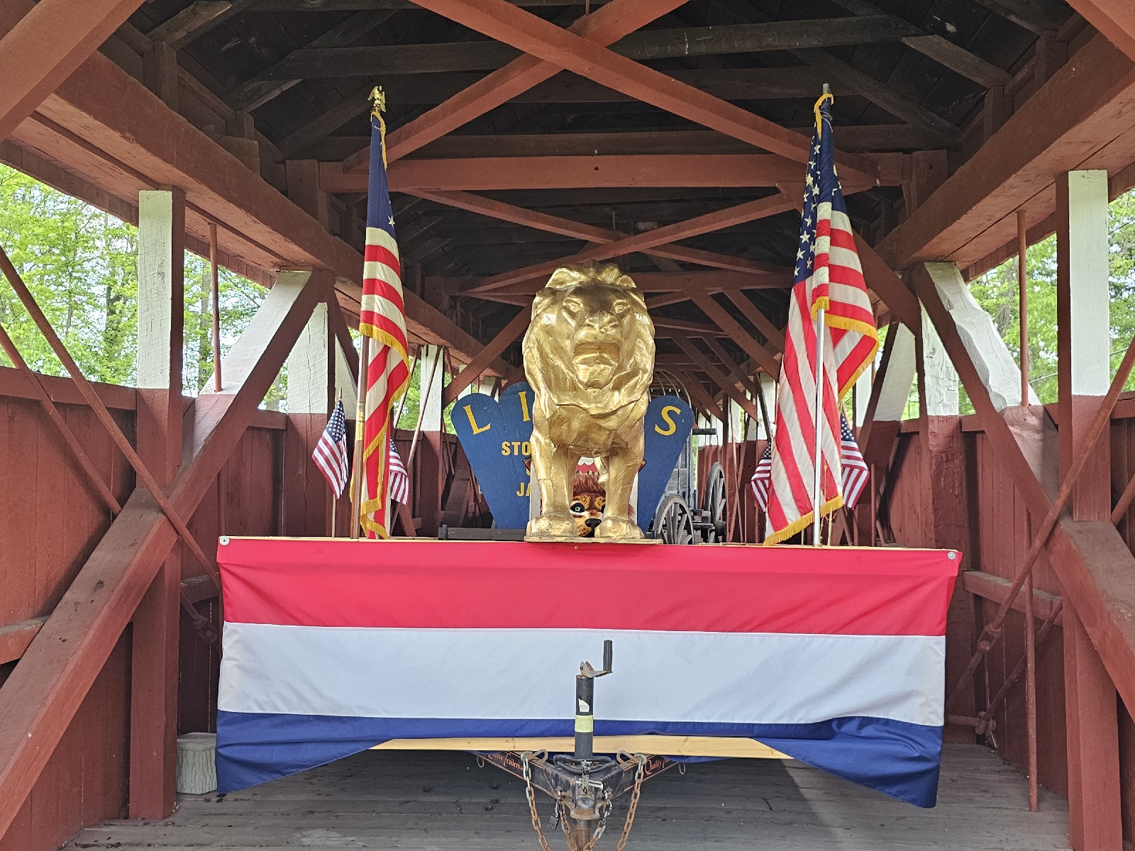
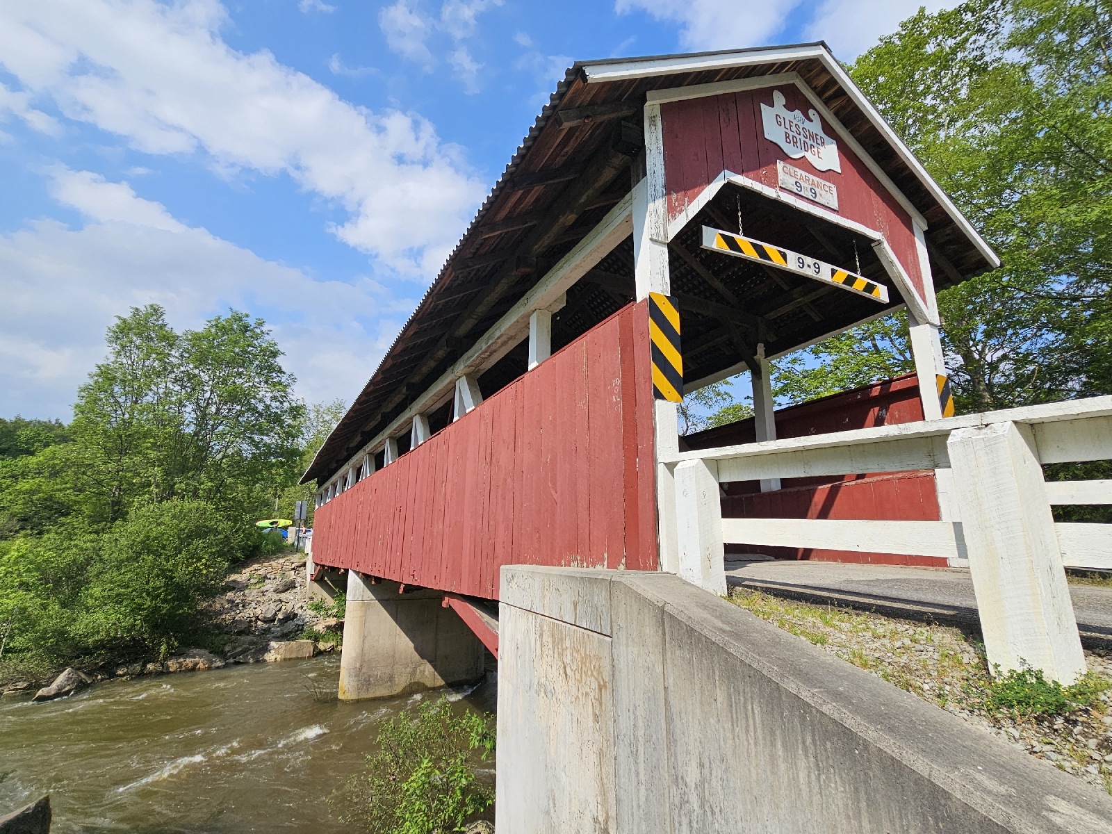
    It was time to go.  But first two more covered bridges.


      Looking at the map, Cumberland, Maryland was about an hour south.  So, I booked a night at the Best Western and called it a day.
     Nice enough place, though I don't recall seeing a corridor quite like this one before.


     Dinner was at Henny's next door to the motel.  I only mention it for a conversation between a waitress and customer.  The vegetable of the day was asparagus.  Apparently it's a really big seller here.  Go figure.

 
Sunset, such as it was...


Monday, June 9, 2025

Roadtrip, Day 23...Two Bridges, Both Closed

Monday, June 9, 2025

     I came to Tiona for one purpose, a state park.  At checkin yesterday, the motel's owner suggested starting the day with a different state park, as well as a waterfall first.  It certainly seemed doable.  
     The waterfall would have included another long drive down unpaved roads.  If they're like yesterday's roads, they'd probably be fine.  In the end, I decided to stick with the original plan.  Especially since storms were expected by early afternoon.
    With the room packed up, it was time to head out and try to squeeze a few things in.


     Kane is a few towns back.  It's the start of a sixty mile rail trail.  It's also a work in progress with detours and gaps.
     But, it all starts at the old train depot.


   The third of a mile point comes to this detour.  It follows the road to the right of this gate.


      The trestle up the grassy embankment is fenced off, but will be included in the trail.  You can see is visibly droop in a few paces.


    The trestle from below...


    Given my limited time frame, I only walked a half hour up before turning back.
     Seen in downtown Kane... been a while...


     Kinda surprised highways are still numbered 666.  


     Also in Kane sits this small stage and park...


     It's dedicated to Oliver Grover Cleveland Crawford.  After a tour in the Navy, he moved back to Kane, where most people just called him OG.
     He and a friend worked for a local insurance company and decided to start their own.  Crawford would spend the next fifty years as CEO of Erie Insurance.
    In my day, OG stands for Original Gangsta.  


    Which brings me to the real reason I came here.  Years ago, I saw a photo from Kinzua Bridge State Park.(pr; Kinzoo)  That was enough.
     Around 1,880, railroads were searching for s shortcut through the Allegheny Mountains.  
     Thomas Kane, President of the New York, Lake Erie and Western Railway had a plan.  
     The first Kinzua Viaduct was built of iron in 1882.  At the time, it was the longest and tallest in the world.
     While widely successful, larger locomotives and heavier trains made it outdated.  Eight years later, it was rebuild with steel.
     The viaduct served freight and passenger service until 1959, as well as day excursions for tourists who wanted to see the view.
     Four years after being deemed structurally unstable, the state bought it and did extensive repair work.
     Once again tourists could take a ride across.  Freight was still out of the question though.
     It was deemed unsafe and closed again in 2002.  A year later, a storm blew through the valley.  Crews working on the bridge sought shelter.  A tornado touched down and crossed paths with the bridge, destroying eleven of the supports.


     Pennsylvania reevaluate and decided to only reopen the remaining section.  


    It was  closed again last year.  Crews are hoping to reopen by fall.  And that rail trail, the other end will even be that platform.


    Even without being able to go out to the end, it's still pretty cool.  
    The line of storms was now due a little later, so I tacked on a very muddy 1.3 mile trail through the park.


     The forecasters were now expecting the line of storms around 2:30P.  I figured with a stop for lunch, I could just about make Philipsburgh before the rain.  So, I booked a room and started driving south.
     As I write this, it's 4:30P.  No rain.  Now it's coming around 9P.  Sigh.
     My home for the night was a pretty decent Best Travel Inn.


Sunday, June 8, 2025

Roadtrip Day 22...One Crooked Bridge

Day 22

Sunday, June 8, 2025

    In a place named Jersey Shore, odds were good there would be a diner.  I considered it.  In the end, I had breakfast in the attached restaurant.  
     It was really quiet this early on a Sunday.  So, I had the  chance to chat with the staff about the road ahead.  
    When I planned this trip, I was going to hit a trail to a place called Gillespie Point.  It's .9 miles up a steady incline to an amazing overlook.  
    This morning, I checked some recent reviews that mentioned tricky washouts.  The trail is described as "narrow with steep dropoffs."  
    So, Plan B.  Based on the restaurant staff's recommendations, I'm going to follow the rail trail and dip in and out.  
    The first stop was only three miles up the road.


        With a good sized lot, it gets a lot of use.  I met plenty of runners and cyclists and got a good morning from all of them.


    It was just over a mile and a half up to my goal,  one of four bridges over Pine Creek.


     That's not an optical illusion.  The top is actually angled.  No idea why though.  It's on a straightaway.  While it's at a 30 degree angle to the shore, I doubt that would make a difference.
   Weird.  I even reached out to a few bridge engineers in Twitter.  Never heard back.
    There's another bridge a little further north.  From the map, it looked like at least eight miles of dirt road to the trail access.
    Instead, I made a brief stop in Little Pine State Park.  


     I just walked around the dam, though the long lake loop was tempting.


     The staff at breakfast suggested Pennsylvania's Mini Grand Canyon.  The rail trail cuts through the base of the canyon.
    So, I punched Leonard Harrison State Park into the GPS  and followed along. It started getting a bit concerning when one dirt road lead to another.  
    I've had it do that before and it's trying to bring me in the shortest route, down impassable roads.  With no cell service, and my current road not on my AAA map, I just rolled with it.
    A mile from the park and I was suddenly on Hwy 606, paved.  The downside, the rain had become steady.  After all that, there was no way I wasn't at least headed to the overlooks.
    

   That line to the right of the river is the rail trail.


     There's a trail down.  With more time and on a dry day, I would have done it.  Today, just not feeling in.


      My home for the night was a bit further than I had anticipated.  The drive was much like this...


     As sometimes happens, my GPS didn't recognize the motel's address.  With no cell service, it was time to go old school.  This is why I still carry paper maps. 
   Eventually, I'd work my way to Hwy 6 and the town of Tiona.  My home for the night was the Rest Stop Inn.  


     A bit different than the previous place, but certainly fine.