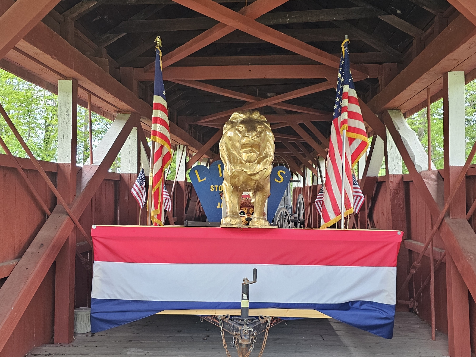
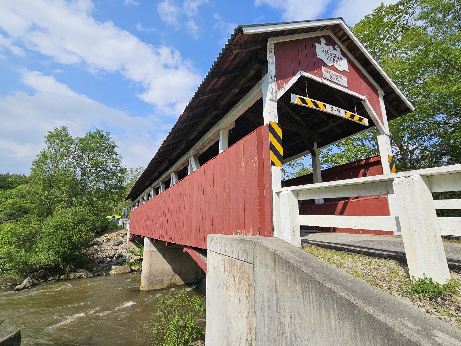
The threatened storms yesterday never manifested. Instead we had some light rain overnight. But, at least it was supposed to be sunny today, so all was good.
Across the highway from the motel sits a quiet little place called the American Diner.
While ordering breakfast, I was asked what color toast I preferred, white, wheat or rye. Interesting way of putting it. Good food though.
There was only one thing on tap for the morning, the Snow Shoe Viaduct Rail Trail. That's why I overnighted in Philipsburg. The bridge covers 770 feet and towers 110 feet over the valley below. It's around the middle of the trail and fenced off. But, you can get right up to it from either end.
The previous night, I looked into access points. I found four. The newest was allegedly behind the Philipsburg Elks Lounge. I didn't see any trails, much less the promised ATV trail.
I drove twenty minutes to the town of Show Shoe and found the provided address. There was a sign, space for two cars and a road that curved off into the woods. On both sides of the road, multiple No Motorized Vehicles signs.
There was supposed to be access along Clarence Rd in the next town over. Never found it. Never found the other access point, either.
So, I tried a different tactic, a viewpoint. This is what comes up on Google.
In hindsight, I probably should have checked YouTube, also.
Instead, I found myself back in Philipsburg. Cold Spring Dam Park has a series of walking trails. To vent a little frustration, I started walking...
From here, I drive southwest to the town of Shanksville. I had heard good things about the Flight 93 Memorial.
From the parking lot, this walkway follows the flight path of the plane as it crashed on 9/11.
The crash scene is this field at the end of the walkway.
If you drive out of the memorial and turn left, there's a sign for Patriot Park. There's a field of flags representing every service member who died after 9/11.
This isn't actually part of the Flight 97 Memorial. It's all done through the non-profit, Patriot Park Foundation.
Looking at the map, Cumberland, Maryland was about an hour south. So, I booked a night at the Best Western and called it a day.
Nice enough place, though I don't recall seeing a corridor quite like this one before.
Dinner was at Henny's next door to the motel. I only mention it for a conversation between a waitress and customer. The vegetable of the day was asparagus. Apparently it's a really big seller here. Go figure.
Sunset, such as it was...


No comments:
Post a Comment