Today was a little bit of everything. To get it all in, the car was packed and the room key turned in as the sun rose over downtown Custer, South Dakota
There was one more stop to make in Custer State Park. It's on the far side of the park and routes were varied. Iron Mountain Road would by far the most scenic. As the signs claim, it’s seventeen miles, 314 curves, 14 switchbacks, three pigtails(a 270 degree turn that comes back over itself), three tunnels, two splits and four presidents. The choice was certainly easy.
While this was certainly cool, it's not what brought me to this section of the park. I was looking for the unmarked Fire Road 330. The website described the road entrance perfectly.
After ditching the Rav-4 on the street, I started walking up the fire road.
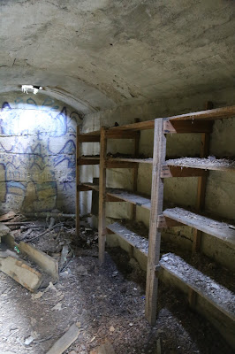
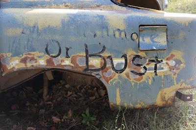
Where exactly? This is what’s left of the mining town formerly known as Spokane, South Dakota. The Spokane Mining Company opened the first mine here in 1890. Over the course of the years zinc, lead, silver and copper were all mined here. The mines were played out by 1950 and and closed.
Hwy 44 continues east. Seen in the distance, one of the trestles from the abandoned rail line.
At least I now know where I can buy buffalo skulls if I ever need them...
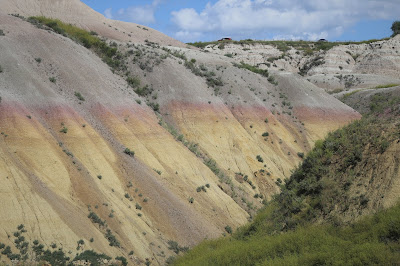
Just one more mile brings you to Badlands National Park.
Considering it was already mid-afternoon, I chose a shorter trail to immerse in the park. "The Notch" is a relatively easy mile and a half round trip.
Everything else was pretty easy...
Seen on a scenic drive through the park...
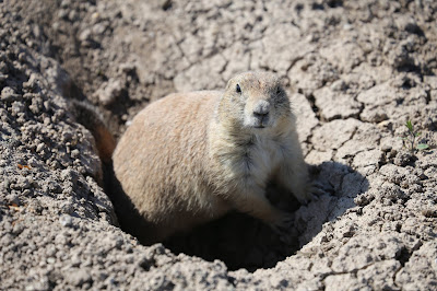
Eventually, the park road brought me to another prairie dog town. It seemed odd there was no barking. Then I saw it, tourists were feeding them. Just so wrong. I later found out the state's prairie dog population had been decimated a few years ago by Bubonic Plague. That's right, the Black Death. So, all the more reason not to get too close.
A few miles outside the park is the town of Wall. If you've ever driven in the upper midwest, you've seen the signs for Wall Drug. They seem to be everywhere. Ted and Dorothy Hustead bought a small drugstore in 1931. Business was slow. So, they came up with the idea to start putting up billboards advertising such things as free ice water. Slowly, business picked up. It's currently three blocks long. I went in the last time I was here and didn't feel the need for a revisit.
Instead, I checked into the Travelodge, picked up a few things at Wall Food and checked in with Allstate. One sign of the times, landlines in motels rooms seem to be slowly going away. Thankfully, the motel still had them. My CR-V had been checked out, but no official report submitted yet. Based on that they could tell me, all signs were leading to the car being deemed totaled. Joy.
With about a half hour until sunset, I took a walk back to Wall Food. It was just a few blocks away and gave a clear view of the western horizon. I settled in for sunset.
To my left was this massive, thick white cloud. As the sun went down, it started changing colors, too.


No comments:
Post a Comment