Tuesday, September 3, 2024

Utah, Day 2... A Hawaiian Ghost Town

 Monday September2, 2024

      Roadtrip lesson learned many years ago.  If you're starting the day with a drive east, either get out well before sunrise, or wait until the sun is high enough to be blocked by the vehicle's visor.  


     The Knights Inn doesn't do breakfast.  So, after packing the truck, I killed a little time over breakfast at a place called Prospectors Cafe.  It's inside the Red Garter Casino and of course you have to walk through the gaming floor to get to it.  Decent breakfast.  This was on the table.  I passed.


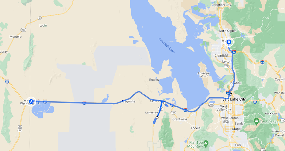
      Today was all about the interesting things between Wendover and Ogden.  


     Across the interstate from the Bonneville Salt Flats rest stop yesterday sits another for the east bound traffic.  Somehow it just isn't the same.


      The first scheduled stop was a short detour south on Hwy 196 to a ghost town.  When I saw a BLM sign off to my right. I pulled off to investigate.


       It's a dirt road that leads back to you guessed it, that lone rock.


     The road was hard packed and dry.  But, the ruts were still a bit deep by the highway.  Yeah, I was driving a pickup and probably could have made it up with ease.  But, it's still a rental. Beside, as one online reviewer put it, "it really is just a lone rock."
        This area is named Skull Valley.  The name references human remains discovered by the early settlers.  
      
      My quest for the morning was another couple of miles south to a place named Iosepa.


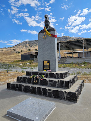
     The name Iosepa is the  Hawaiian form of the name Joseph.  It was named after Joseph F. Smith, nephew of the Mormon Church's founder Joseph Smith.  In the 1850's Joseph F. had travelled to Hawaii as a missionary.  Forty years later Hawaiians were finally allowed to emigrate to the Utah Territory.   

     Coming from a warm, lush climate, it was a big adjustment to Utah's winters and the desert conditions.  The community eventually would thrive.  But today, this is all that's left.


      The cemetery is still in use.  The most recent headstone is from 2023.


      On the drive back to the interstate, I pulled off at a place called Horseshoe Spring...


     That's where I saw this sign...


      The Hastings Cutoff was an part of the Oregon Trail bringing wagons trains full of settlers west to California.  

    The next stop was the site of the former Saltair Resort, one the more successful along the shores of the Great Salk Lake.  The original resort was built as a combined effort between the Mormon church and the Salt Lake and Los Angeles Railway.  It was destroyed in a fire in 1925.

      The renovated resort would also burn down and be rebuilt.  The final version was reopened in 1981.  Months after reopening, the resort was flooded by high lake levels.  It was set to be abandoned for good in 2005.  

      It was saved by a group of investors who renovated it and reopened it as an entertainment venue.


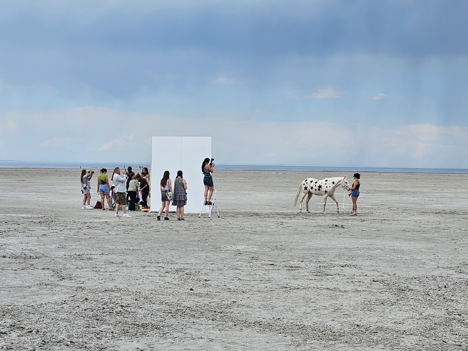
   The venue parking lot was gated and closed.  But, there's plenty of roadside parking.  Based on the volume of people, and one horse crossing their property, they seem fine with it.  

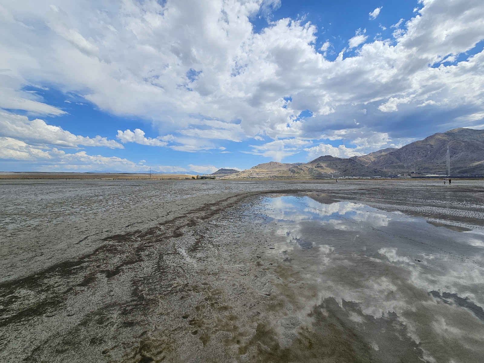
    This is my third time in Utah, and my first actually walking out to the Great Salt Lake.  I saw a flash of lightning in the distance and heard thunder.  Walked out anyway.


    As for the horse... 


      What they were shooting was a mystery.  And while you see spots and stars  on the horse, it's just white on the other side.

     The model is also wearing an outfit festooned with stars.  That's her on the left side of the shot, three people in.


      The rain forecast gave me a few hours grace time.  It was too early to call it a day.  A quick search for trails offered a perfect hike to squeeze in.  
     Adams Canyon is a popular hike as witness the good sized, paved parking lot.  There are two waterfalls, upper and lower.  Hitting the upper falls might be a risk rainwise.   The lower falls are a mile and a half round trip.  Perfect.
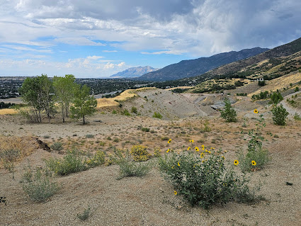
       Still, it's a trail you earn.  It's a steady climb.


   While I was never good at judging distance on the trail, it felt a lot longer than 3/4 miles when I hit this junction.  


      Two guys were coming down the trail on the left.  They told me it was another forty minutes to the falls.  Turns out they meant the upper falls.  I had definitely gone too far.  
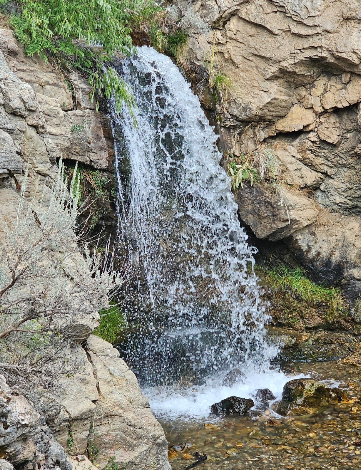
      I found a family's blog about the trail.  I was supposed to turn onto the unmarked trail by the wooden bench.   I found the turnoff and went off to the lower Adams Falls.


       There was a steep scramble from this point down to the base of the falls. I was fine stopping here.


     My home for the next few nights was the Temple View Inn in Ogden.  It would be a perfect central location for the next few days' hiking trails.  It was your basic independent motel.  Clean, just nothing special.


    And yes, you could see the Ogden Temple from the parking lot.


      One issue though.  I refilled my water bottle in the room.


    They gave me a different room.  This one had clear water.  They even gave me the number of the manager.  Of course he didn't call me back.

No comments:

Post a Comment